Mount May hiking,
A Breathtaking Scenic Rim Adventure - via Waterfall creek
Discover panoramic views and challenging trails in this hidden gem of Mount Barney National Park
From Brisbane, drive to Rathdowney, turn onto Boonah-Rathdowney Road, then Newman Road. Follow to Waterfall Creek Road and campground. Trail starts near campground.
Hike best views.
Trailzen
Mount May | A Scenic Adventure in Queensland
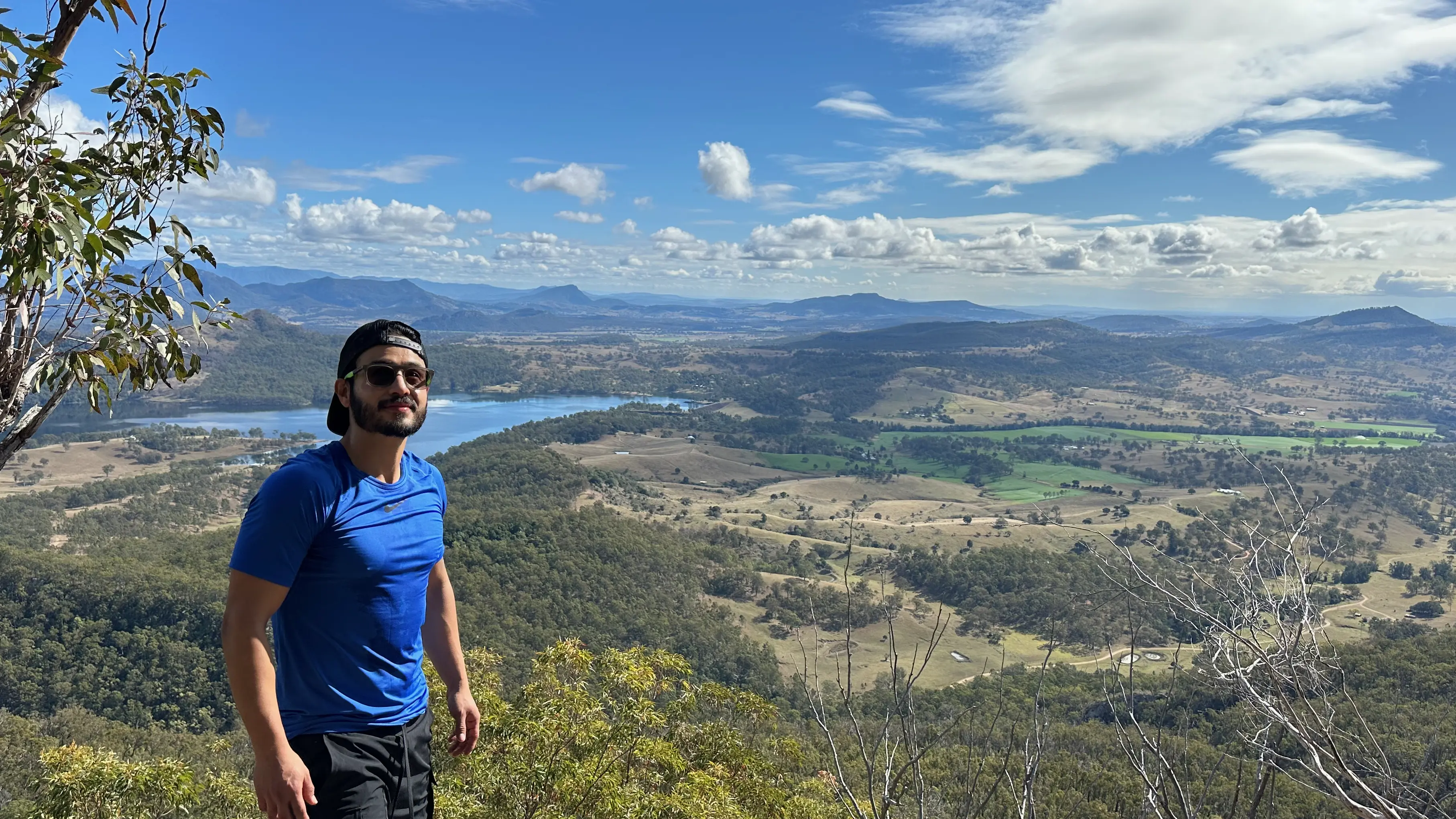
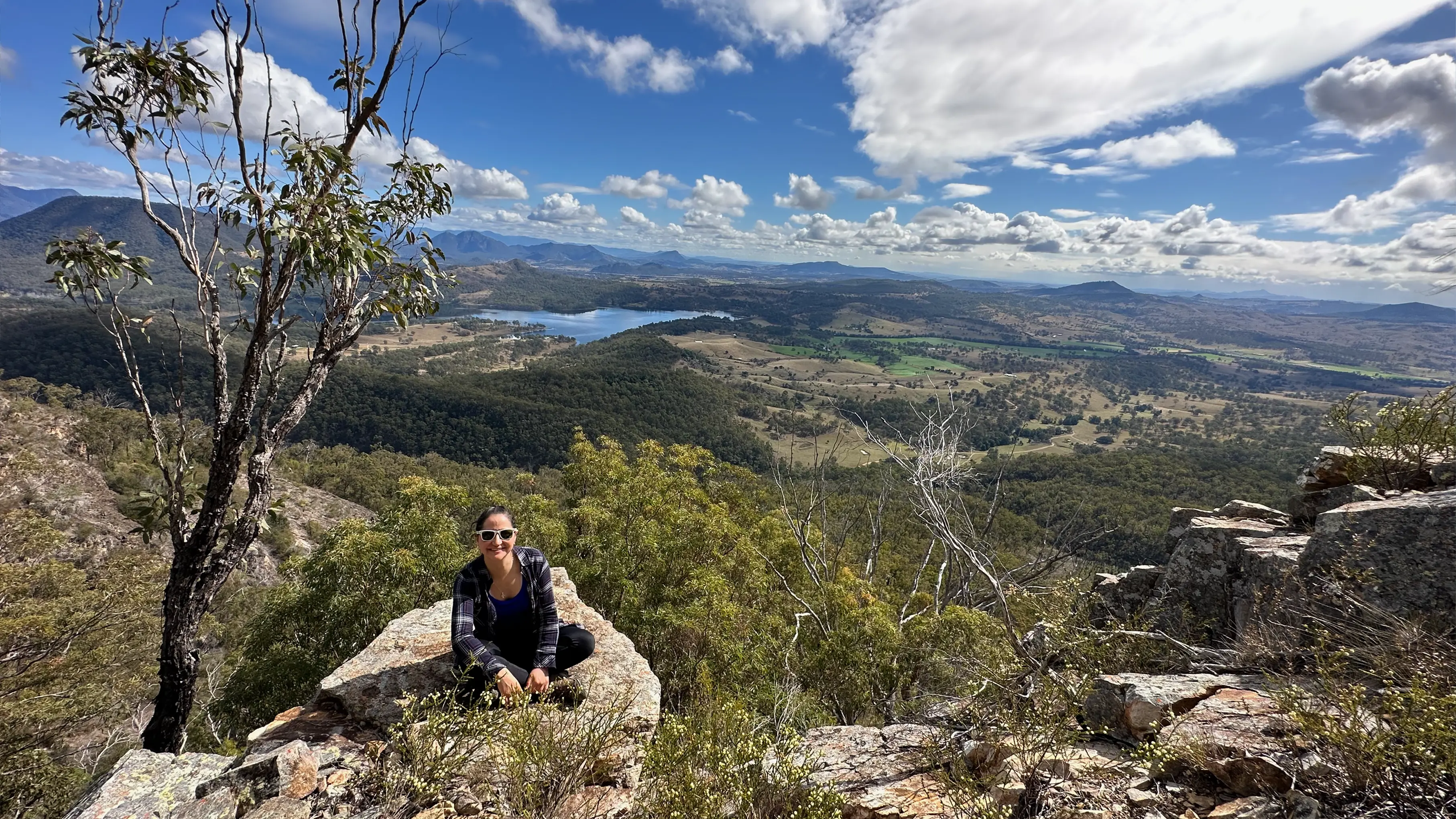
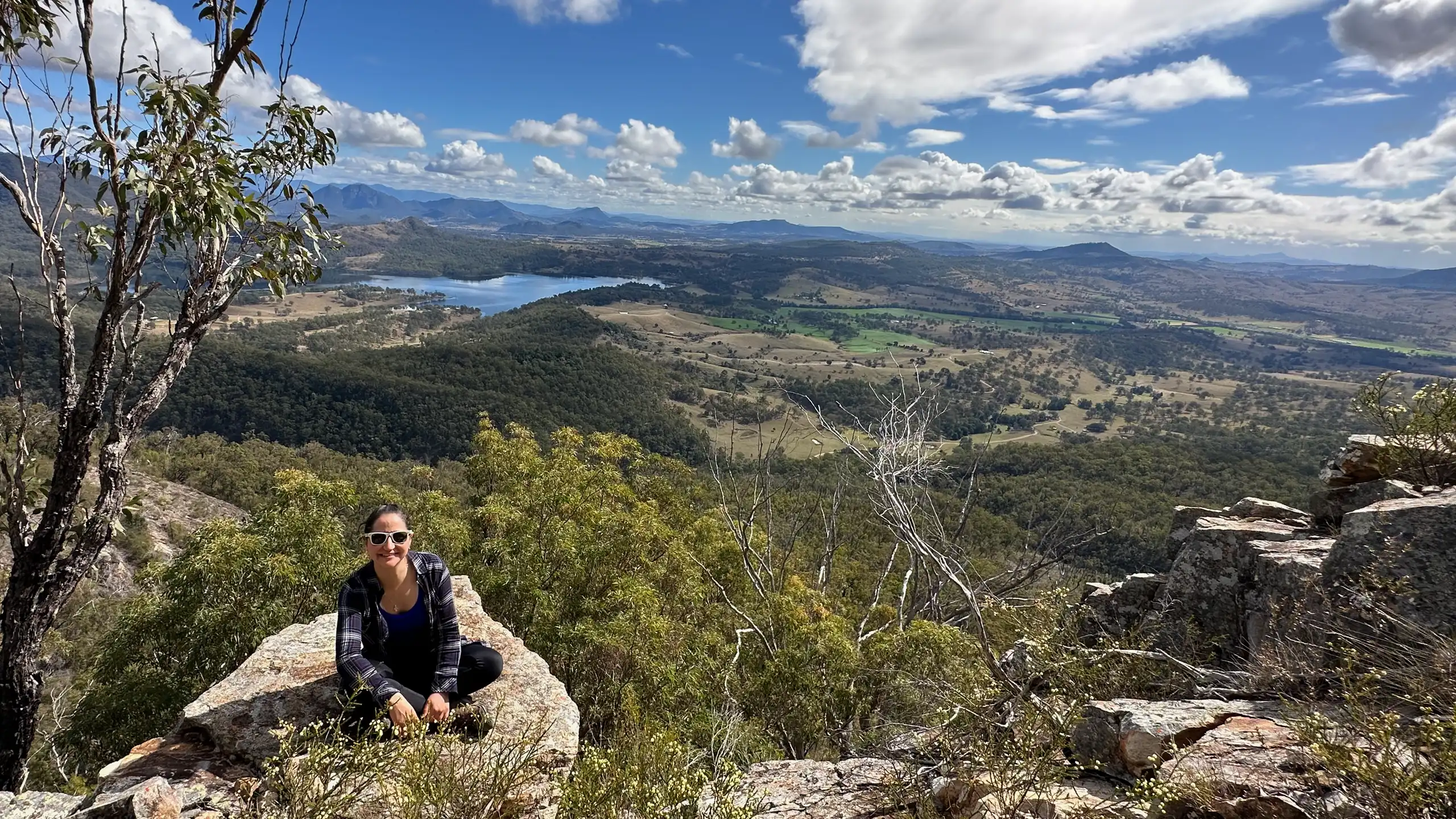
Mount May offers an exhilarating 6.6km loop trail that rewards hikers with stunning views of the Scenic Rim. This challenging route takes you through diverse terrain, from lush forests to rocky outcrops, culminating in breathtaking panoramas of Mount Barney and Lake Maroon.
Trail Talk: A Breakdown of the Hike
Getting there from Brisbane
From Brisbane, Follow to Waterfall Creek Road and campground. Trail starts near campground.
Wild life
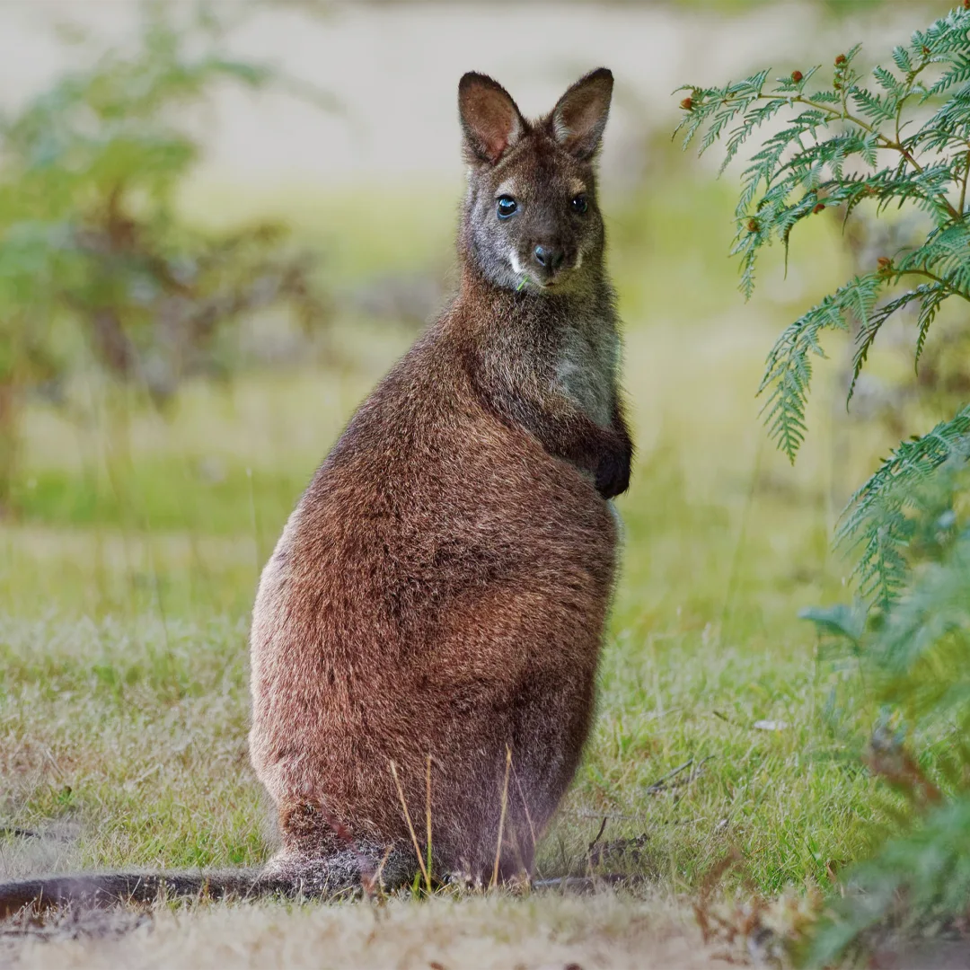
A medium-sized macropod marsupial

Commonly found in Mount Barney National Park
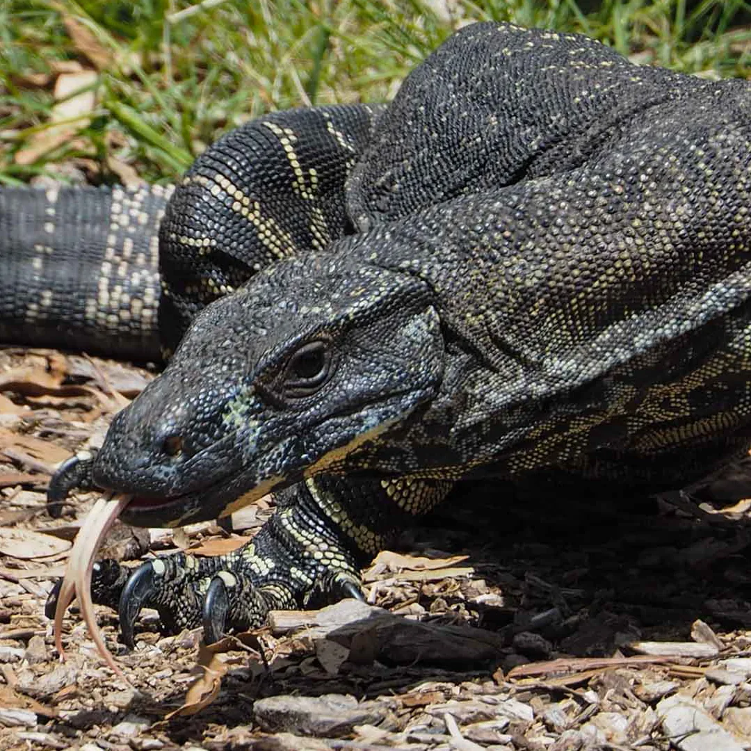
Also known as the tree goanna
Comparison with famous Queensland's most challengin summits

Comparison of various mountains in Queensland including height, distance, length and elevation gain.
Pro Tip: Start early to catch the sunrise from the North Peak – the golden light illuminating Lake Maroon is a sight you won't forget!
Hiking Tips and Checklists:
 Before You Lace Up!
Here are some key recommendations to enhance your Mount Greville Hike experience:
Start Early: Thoroughly understand the physical demands, potential risks, and weather conditions, a Mt Greville Trail Map would come in handy.
Hydrate, Hydrate, Hydrate! Bring plenty of water & fuel up with high-energy snacks
Dress for Success: Wear sturdy hiking boots with good ankle support and breathable clothing.
Choose the right path: Take Waterfall Gorge up to avoid impassable downclimb obstacles
Leave No Trace: Pack out all your trash and respect the natural environment.
Mind the Weather: Avoid hiking after heavy rain due to potential flash floods and slippery rocks.
Offline map: Download an offline map or bring a physical copy for navigation
Pack Checklist:
Pro Tip:
Pack some extra layers the summit can be chilly, especially if you're waiting for sunrise!
Mount May Route and Trail Notes
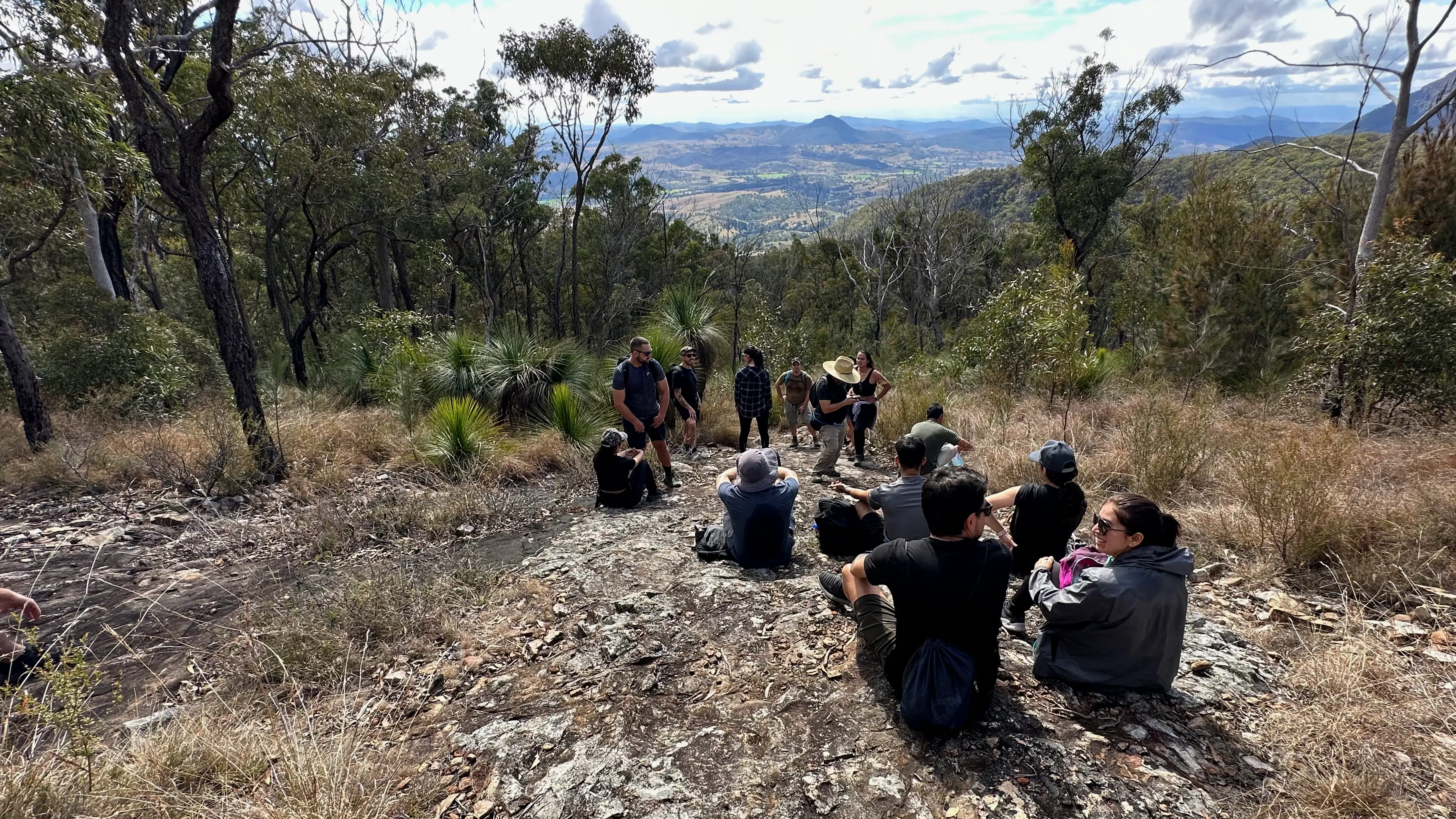
The trail starts with a challenging ascent on loose rocks. Be prepared for some rock scrambling, especially between the North and South peaks. The descent from South Peak is steep but well-defined. Pay attention to trail markers and cairns to stay on track. Limited parking is available at Waterfall Creek campground.
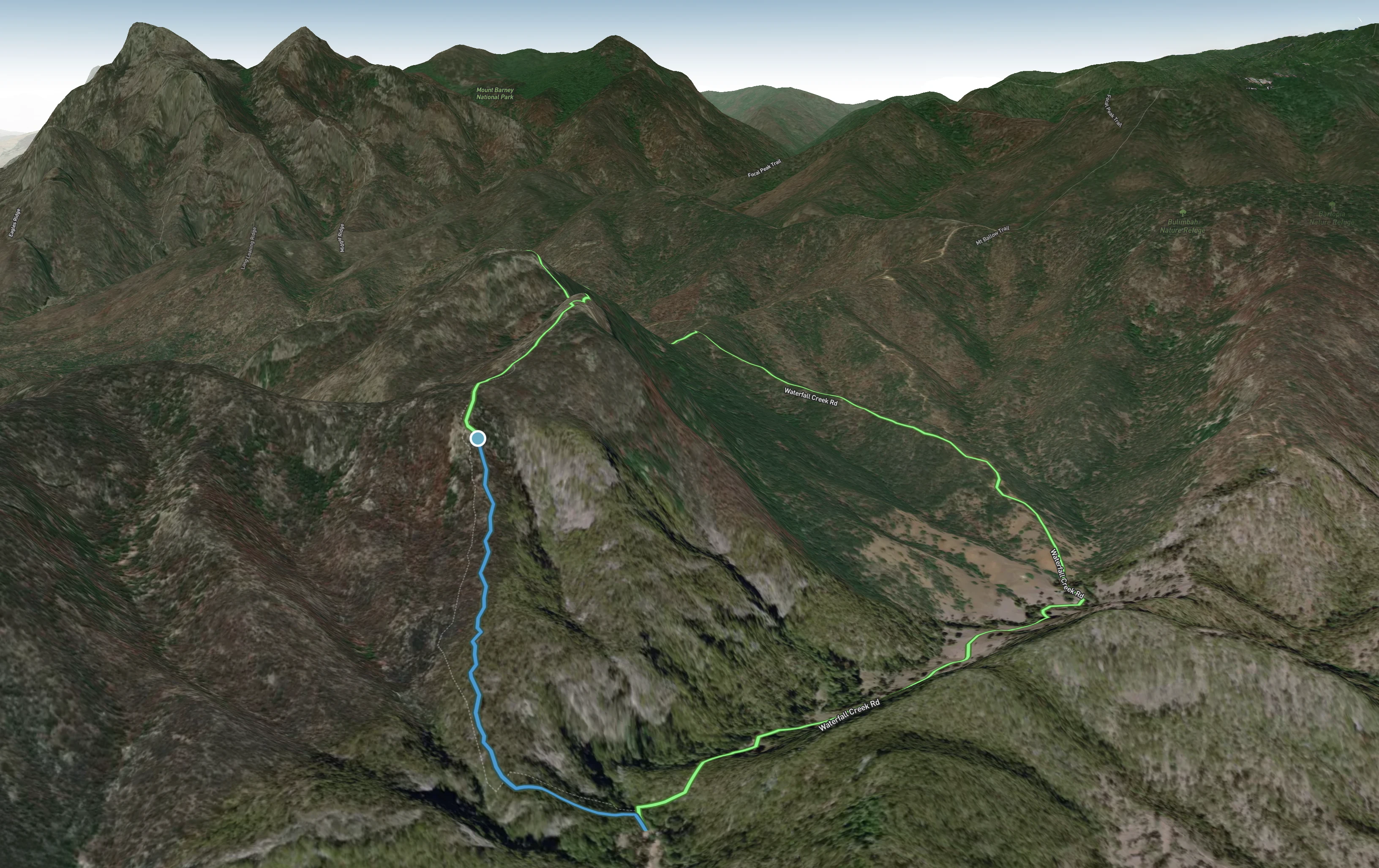
Mt May trail map.
Alltrails
Pro Tip: Muscles refresh! After your hike, cool off in the swimming hole near the campground a perfect way to refresh tired muscles!
Stay Nearby
Extend your adventure by booking a night at Waterfall Creek campground for easy trail access. Basic facilities are available, including toilets and fire pits. Booking is essential.
Permit must be obtained from the Scenic Rim Regional Council via phone (07) 5540 5111
Conclusion
Mount May offers a challenging but rewarding hike with some of the best views in the Scenic Rim. Whether you're chasing sunrise vistas or testing your hiking skills, this trail delivers an unforgettable adventure in the heart of Mount Barney National Park.
FAQs:
How difficult is hiking up Mt May?
It's considered challenging due to steep ascents and some rock scrambling.
Can beginners attempt this hike?
It's best suited for experienced hikers with good fitness levels.
Is the trail well-marked?
Parts of the trail can be unclear - bringing a map or GPS is recommended.
How long does the hike take?
Most hikers complete the loop in 3-4 hours.
Are there toilets at the trailhead?
Yes, basic facilities are available at Waterfall Creek campground.
Can I bring my dog on the hike?
No, dogs are strictly not permitted on the Mt Greville trail or any trails within Moogerah Peaks National Park.
Subscribe to stay updated on upcoming community hikes, inspiration, and tips for your next outdoor adventure!

